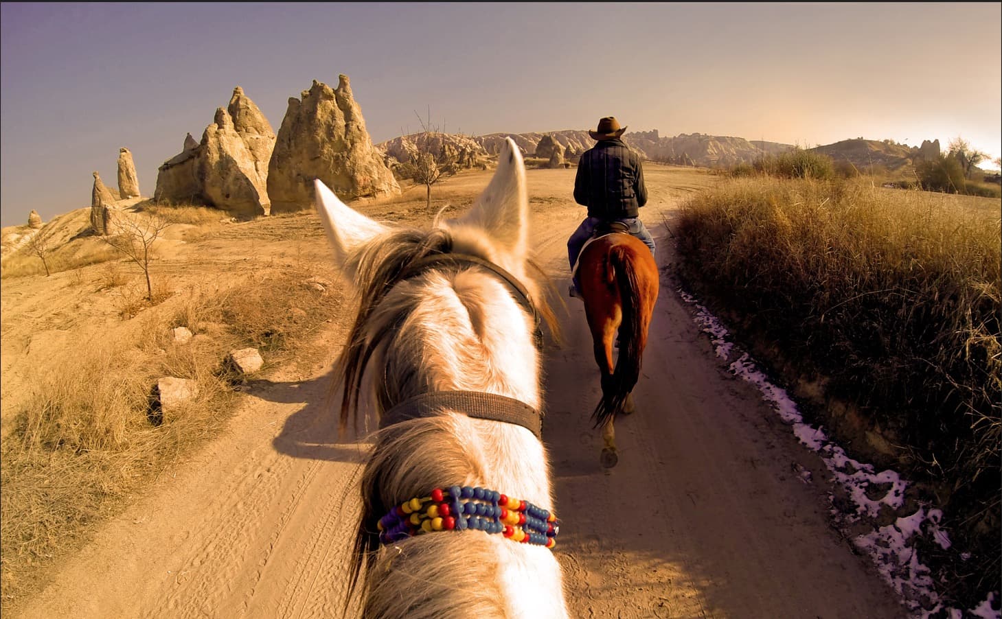
The best-known valleys for hiking in Cappadocia are Pigeon Valley (Uçhisar to Göreme, about 3–4 km), White and Love valleys, Red and Rose valleys, Zemi, Meskendir and, as a day trip, Ihlara. Most trails are easy to moderate, but signage is limited and shade is scarce. Start early, carry plenty of water and an offline map, and plan the return from one-way hikes by taxi.
For Cappadocia hiking, the easiest start is Pigeon Valley, a walk of about 3–4 km (2–2.5 miles) that runs mostly downhill from Uçhisar to Göreme. Longer, more varied routes follow White and Love valleys, the Red and Rose valleys known for sunset, and quieter Zemi and Meskendir; Ihlara Valley is a separate day trip. Most trails are easy to moderate, but waymarking is limited.
The lengths below are approximate, based on published hiking guides and map data, and they change with the entry and exit points you choose. Distances from the hotel are approximate road distances calculated from OpenStreetMap data. For the landmarks near the valleys, see our guide to places to visit in Cappadocia.
Cappadocia's main hiking valleys compared
| Valley | Approx. length | Difficulty | Start and end | Best time | From the hotel |
|---|---|---|---|---|---|
| Pigeon Valley | 3–4 km one way | Easy to moderate | Uçhisar ↔ Göreme | Early morning | Uçhisar trailhead ~1.1 km (~15 min on foot) |
| White Valley (Ak Vadi) | ~3 km; 7–8 km with Love Valley | Moderate; the path fades in places | North-eastern edge of Uçhisar → Love Valley | Morning | ~2.5–3 km |
| Love Valley (Bağlıdere) | 3.5–5 km one way | Easy to moderate | White Valley junction ↔ Göreme–Çavuşin road | Early morning or late afternoon | Lower trailhead ~7–8 km |
| Red and Rose valleys | 3–4.5 km each; 6–8 km loop | Moderate | Red Valley viewpoint (Ortahisar side) ↔ Çavuşin | Late afternoon to sunset | Çavuşin ~8.5 km; viewpoint ~12 km |
| Zemi Valley | ~3 km loop; ~6 km one way | Easy to moderate | Göreme, Müze Caddesi (El Nazar signpost) | Morning | ~5.5 km |
| Meskendir Valley | 2–4.5 km | Easy | Göreme–Ortahisar road (near Kaya Camping) → Red Valley | Morning or late afternoon | ~10–11 km |
| Ihlara Valley | ~14 km in total; main entrance to Belisırma 3.5–4 km | Easy; the entrance stairs are tiring | Ihlara main entrance → Belisırma → Selime | Spring and autumn, morning | ~80 km (~1 h 20 min) |
Valleys you can walk to from Uçhisar
Pigeon Valley (Güvercinlik Vadisi)
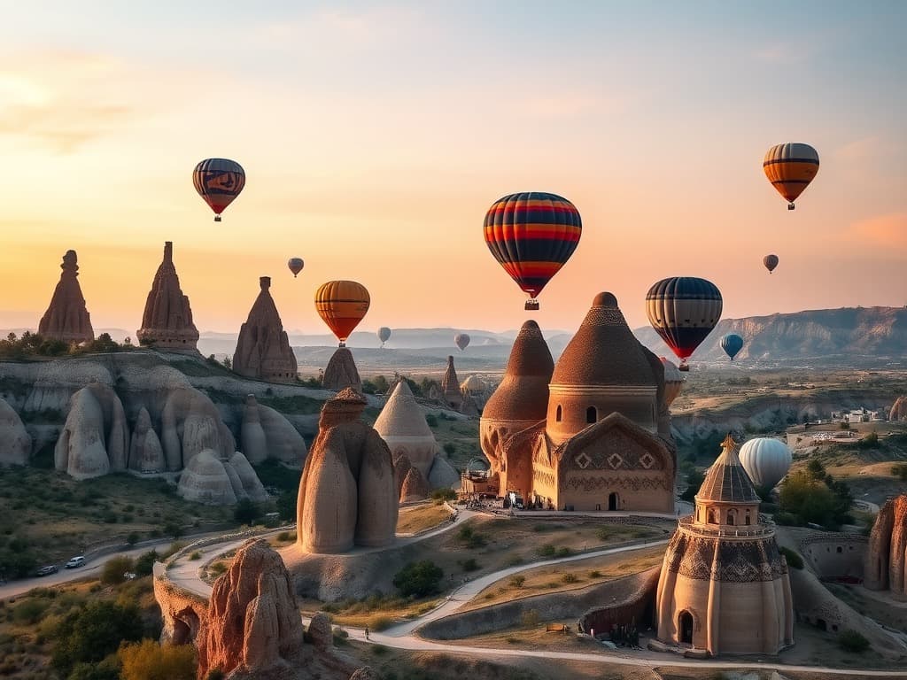
Pigeon Valley runs between Uçhisar and Göreme and takes its name from the many dovecotes carved into its cliffs; for centuries the droppings collected in them fertilised vineyards and orchards. The Pigeon Valley hike from the Uçhisar trailhead to Göreme is about 3–4 km and mostly downhill, because Uçhisar sits higher; allow 1–1.5 hours. Walking the other way means roughly 200 m of climbing. The Uçhisar trailhead is about 1.1 km, or a 15-minute walk, from the hotel.
The path is generally easy to follow and can be walked in either direction. Walking down and riding back is the most practical way to get to know the area without tiring yourself on day one.
White Valley (Beyaz Vadi)
White Valley, also mapped as Ak Vadi, starts on the north-eastern edge of Uçhisar and joins Love Valley between pale, wave-shaped tuff walls. The section is short, but the path fades in places, thorny shrubs make long trousers worthwhile and some side branches dead-end. Use an offline map and keep to the main valley floor; if you lose the path, going back to the last point you recognise is safer than scrambling up a steep slope.
Love Valley (Bağlıdere)
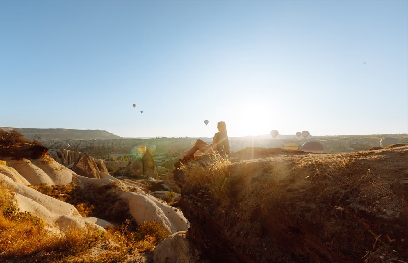
Love Valley in Cappadocia, locally Bağlıdere (mapped as Bağıldere), is known for its tall, column-like fairy chimneys. You can walk in from Uçhisar via White Valley or start from its lower end near the Göreme–Çavuşin road. The valley itself is about 3.5–5 km; together with White Valley, Uçhisar to Göreme is roughly 7–8 km and takes 2–3 hours. The middle section has short tunnels and stream-bed crossings that turn muddy after rain. The viewpoints along the valley's upper rim are also popular for sunrise balloon photos.
Red and Rose valleys: the sunset route
Kızılçukur (Red Valley) and Güllüdere (Rose Valley) lie side by side between Çavuşin and Ortahisar and make up one of the region's most popular walks. Red Valley is about 3–3.5 km and Rose Valley about 4–4.5 km; joined together they form a 6–8 km loop. Rock-cut churches line the way: the Üzümlü (Grape) Church near the entrance to Red Valley is known for frescoes from before the Iconoclast period, and the Rose Valley side has churches such as the Haçlı Kilise (Church of the Crosses). Metal steps have been fitted on some steep descents.
To time the Red Valley hike with sunset, set off about three hours before sunset and finish at the Kızılçukur viewpoint on the Ortahisar side. You will be heading back in the dark, so book your car or taxi to the viewpoint in advance and carry a torch. From the hotel, Çavuşin is about 8.5 km and the viewpoint about 12 km by road.
Zemi and Meskendir: quieter valleys near Göreme
Zemi Valley begins on the south-eastern side of Göreme and climbs towards the high ground between Uçhisar and Ortahisar. The El Nazar Church signpost on Müze Caddesi in Göreme is a good starting point, and the frescoed El Nazar Church is a short detour. A short loop is about 3 km; walking one way to the upper end is about 6 km. The valley is usually quiet, so it is better not to hike it alone. The Göreme trailhead is about 5.5 km from the hotel.
Meskendir Valley starts near Kaya Camping on the road between the Göreme Open-Air Museum and Ortahisar and connects with Red Valley. The 2–4.5 km section is easy, and continuing through Red Valley to Çavuşin makes a longer day of 10–11 km. The trailhead is about 10–11 km from the hotel by road.
Ihlara Valley day trip: Belisırma and Selime
According to GoTürkiye, the official tourism portal, Ihlara Valley in the Güzelyurt district of Aksaray province is a canyon cut by the Melendiz stream, about 14 km long and 150 m deep on average. It is about 80 km (around 1 hour 20 minutes by car) from the hotel, so plan a full day. The valley-floor path is flat; the hard part is the staircase of roughly 360–400 steps at the main entrance.
- Main entrance to Belisırma (3.5–4 km, 1–1.5 hours): the section with the most rock churches, and the one tours walk. Belisırma has riverside restaurants.
- Belisırma to Selime (about 7–9 km, 2–3 hours): quieter, passing the fairy chimneys of Yaprakhisar and ending at the rock-cut Selime Monastery.
- The whole valley (Ihlara village to Selime, about 14 km): 5–7 hours with stops; arrange a taxi or transfer back.
The valley has an entrance fee, with a ticket booth at the main entrance. For an organised day, the Green Tour combines the Ihlara–Belisırma walk with an underground city and Selime. The green canyon is a change from the fairy-chimney valleys and draws extra visitors in autumn, when the trees change colour.
Combining one-way hikes with taxis and pick-ups
Most valleys run between two villages or two roads, so walking one way and riding back saves time and spares you the return climb.
- Pigeon Valley: walk down from Uçhisar to Göreme, then take a taxi back after lunch (about 5 km, 10 minutes). Municipal buses also run between Göreme and Uçhisar; timetables change with the season.
- White and Love valleys: walk from the hotel into White Valley and leave Love Valley at its lower end on the main road; Göreme centre is then about a 30-minute walk.
- Red and Rose valleys: take a taxi to the viewpoint on the Ortahisar side, walk down to Çavuşin and ride back from there; for sunset, reverse the direction and book a pick-up at the end.
- Ihlara: if you drive, arrange a taxi or transfer in advance from Belisırma or Selime back to the main entrance.
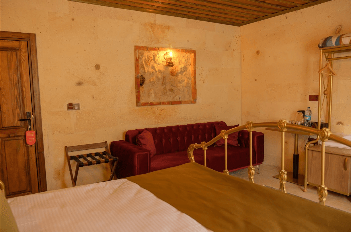
Zeppelin Cappadocia's front desk is open 24 hours, and the tour desk can help you arrange a transfer to a trailhead or back from the end of a walk. If you prefer to drive between trailheads, see our Cappadocia car rental guide.
Safety: water, heat, waymarking and ATV traffic
- Water: a few trails have makeshift stalls selling drinks, but they are not always open; in summer carry at least 1.5–2 litres per person.
- Heat and sun: Türkiye's state meteorological service (MGM) records average July and August highs of about 28–29 °C in Nevşehir, with a record of 39.5 °C, and valley floors have little shade. In summer, walk early in the morning or after mid-afternoon, with a hat, sunglasses and sunscreen.
- Limited signage: some junctions have stone signs and painted marks on rocks, but many paths are unmarked and mobile signal can drop in the valleys. Download the area in an OpenStreetMap-based app such as Organic Maps or Maps.me before you go.
- ATV and horse traffic: dirt tracks at valley entrances are shared with ATV, jeep and horse tours, and dust and noise peak towards sunset. Step to the side when you hear engines.
- Don't start late: in winter the sun sets around 17:30 and the valleys darken early. Carry a torch on sunset walks, tell someone your route and call 112, Türkiye's emergency number, if needed.
- Footing: tuff dust and fine gravel are slippery; wear shoes with grip, keep away from steep edges and fragile formations, and do not touch the frescoes in the churches.
For hiking clothes and gear, see our Cappadocia packing list.
Seasonal notes for hiking in Cappadocia
Spring (April–May) and autumn (September–October) are the most comfortable seasons. MGM's long-term averages for Nevşehir put the daily high at about 21 °C in May, 24–25 °C in September and 18 °C in October. Spring brings 12–13 days of rain a month, and after rain the clay and tuff paths turn muddy and stream beds slippery.
Summer (June–August) is dry and sunny, with close to 12 hours of sunshine a day in July. Winter (December–February) is cold: the average January low is −3.6 °C, and snow and ice can cover the paths. See our Cappadocia in winter guide for cold-season walks and the best time to visit Cappadocia for month-by-month weather.
A sample morning hike from Uçhisar
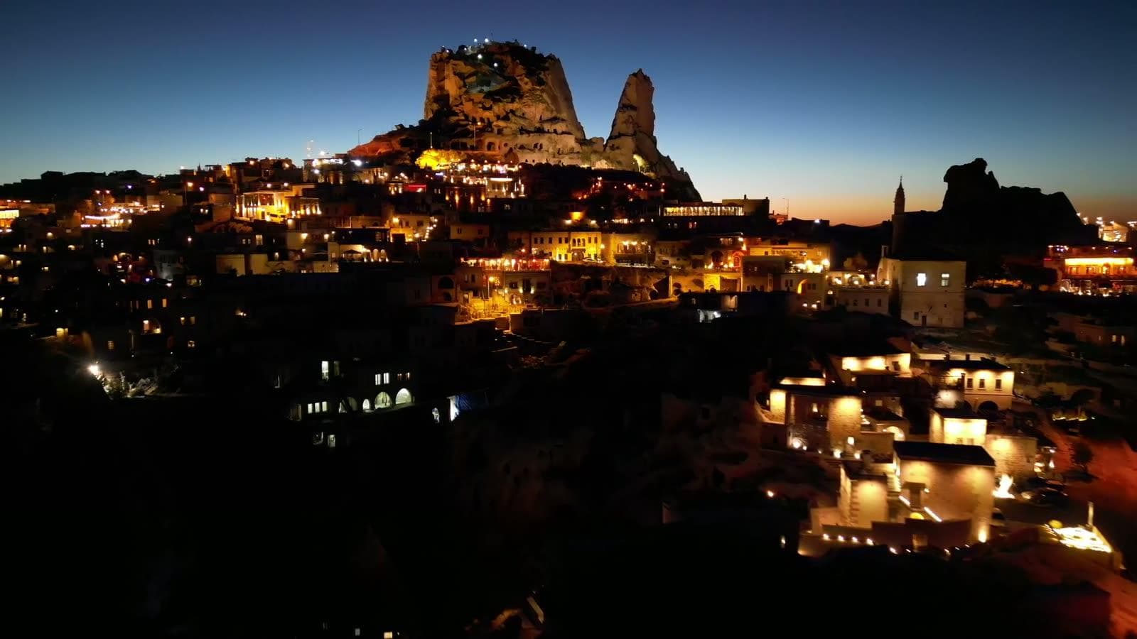
- Sunrise: on flight mornings, watch the balloons from Zeppelin Cappadocia's terrace, which looks out over Uçhisar Castle, then have breakfast.
- Start: walk about 1.1 km (15 minutes) from the hotel to the Uçhisar trailhead of Pigeon Valley. In summer, set off before 08:00–08:30 to stay ahead of the heat.
- Descent: follow Pigeon Valley down to Göreme, 3–4 km in 1–1.5 hours, with short stops for the dovecotes and rock-cut rooms.
- Göreme: a coffee break; if you like, continue to the Göreme Open-Air Museum, about 1.5 km from the village centre.
- Return: a taxi back to Uçhisar takes about 10 minutes, or walk back up the same valley in 1.5–2 hours.
Rest in the afternoon, then watch the sunset at Uçhisar Castle or from the terrace. For pictures along the way, see our Cappadocia photo spots. Staying in Uçhisar means you can start Pigeon, White and Love valleys on foot without a car; read more on our Uçhisar hotel page or compare villages in where to stay in Cappadocia.